Log in
All resources
Create a design
36,083 Free Images of Arabic Language Maps
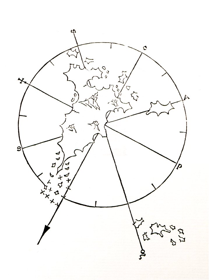
old maps of islands of the aegean sea
bartolommeo dalli sonetti
gerard valck
maps made in the 18th century
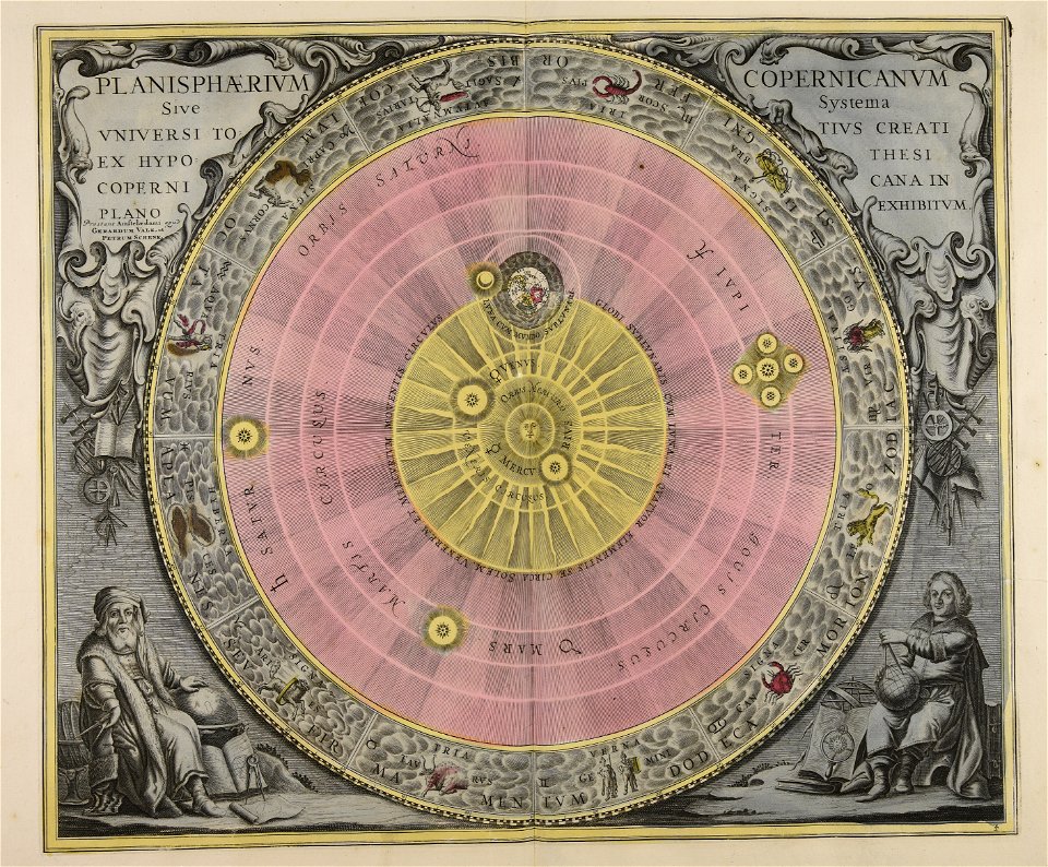
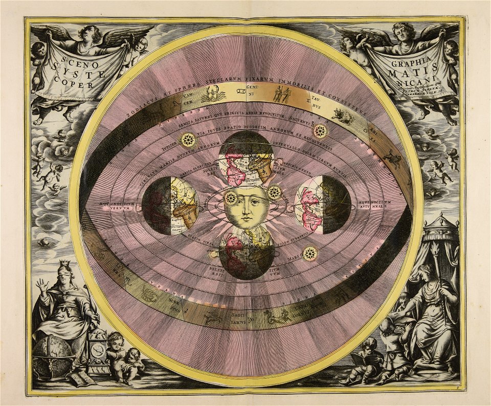
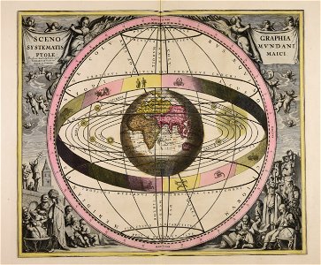
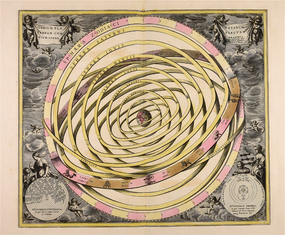
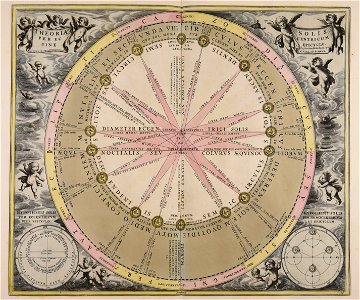
old celestial maps
cellarius harmonia macrocosmica
atlantis magni tomus primus (biblioteca comunale di trento)
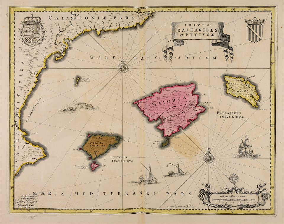
pieter schenk (i)
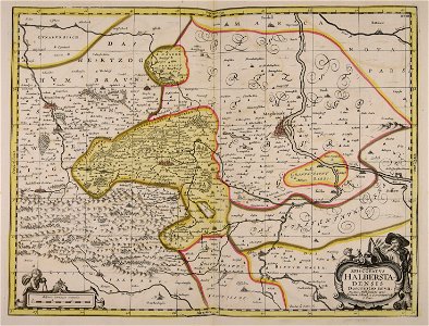
maps made in the 17th century
maps by pieter schenk (i)
maps made in the 17th century
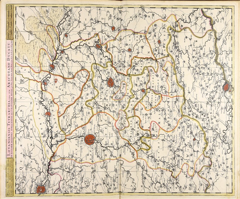
gerard valck
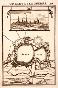
city walls of arras
history of arras
maps from the mechanical curator collection
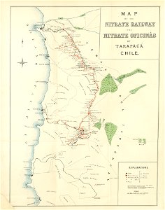
saltpeter works of chile
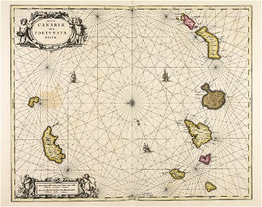
maps made in the 17th century
gerard valck
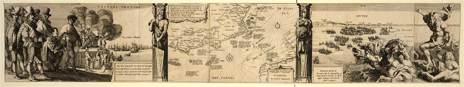
cornelis danckerts (i)
battle of the downs
maps made in the 18th century
gerard valck
maps made in the 18th century
gerard valck
maps made in the 17th century
gerard valck
maps made in the 18th century
gerard valck
maps by willem and johannes blaeu
old maps of groenlo
gerard valck
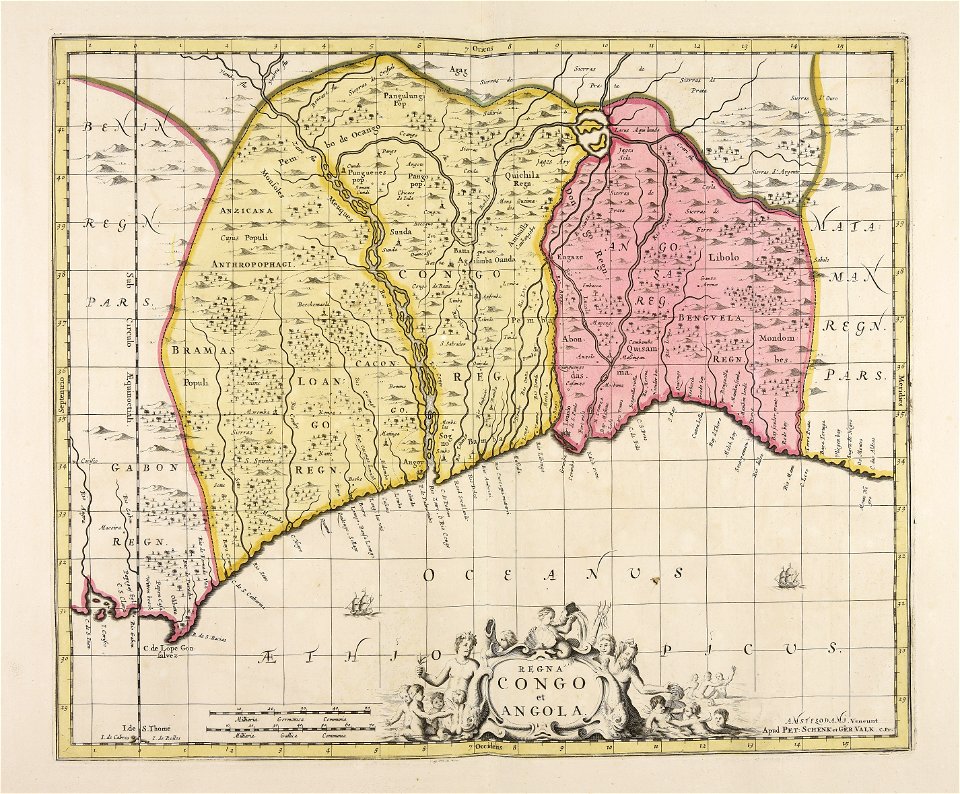
angola
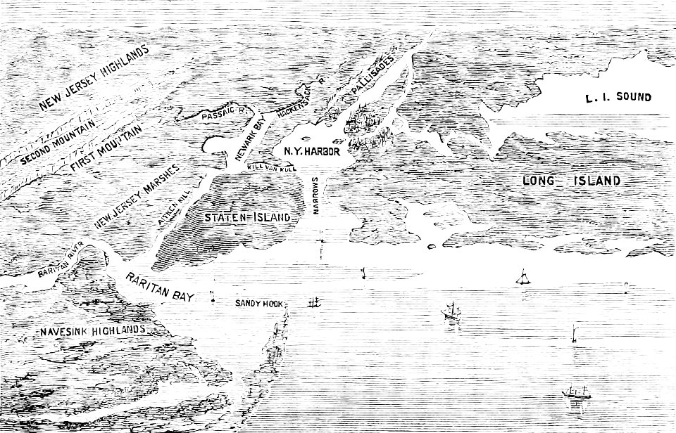
old maps of new york (state)
the palisades (hudson river)
maps made in the 18th century
gerard valck
maps made in the 18th century
gerard valck
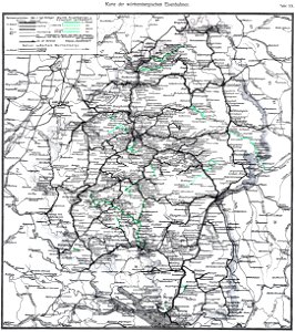
1912 in rail transport in germany
enzyklopädie des eisenbahnwesens
sistema solar
gerard valck
maps made in the 17th century
gerard valck
eran laor cartographic collection
alain manesson-mallet
eran laor cartographic collection
alain manesson-mallet
eran laor cartographic collection
alain manesson-mallet
eran laor cartographic collection
alain manesson-mallet
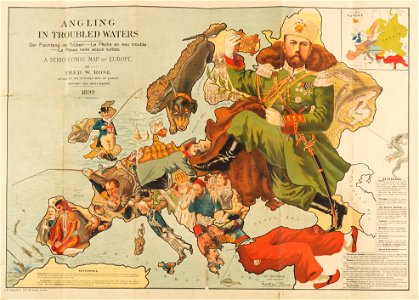
caricatures of wilhelm ii of germany
19th-century maps of europe
judge
1895
river
roads
color engravings
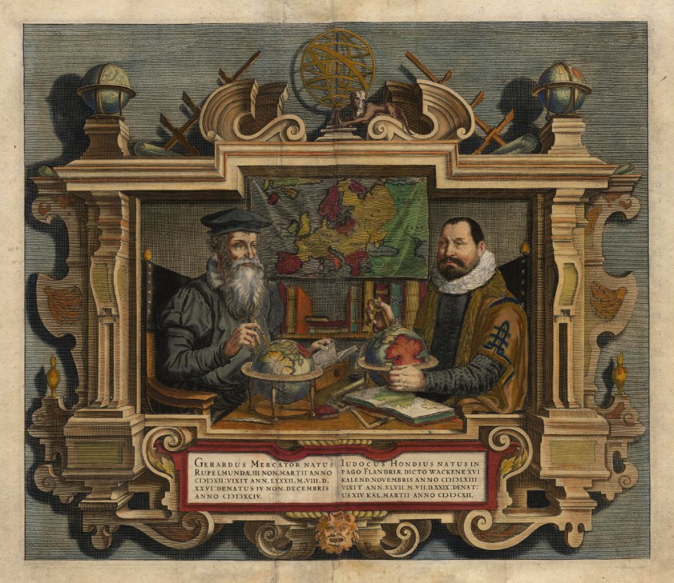
jodocus hondius
maps in the library of congress
ships on maps
latin-language maps
bologna ptolemy
maps by daniel lizars
1830s maps of belize
itinerario (jan huygen van linschoten)
renaissance
girls with objects
necklines in art
artworks without wikidata item
birds of art
art from asia
art work
old maps of the province of a coruña
lucas janszoon waghenaer
diego gutiérrez
renaissance
german renaissance
stabius world map
history of antwerp
renaissance
daniel de la feuille
1706 maps of italy
cornell university library
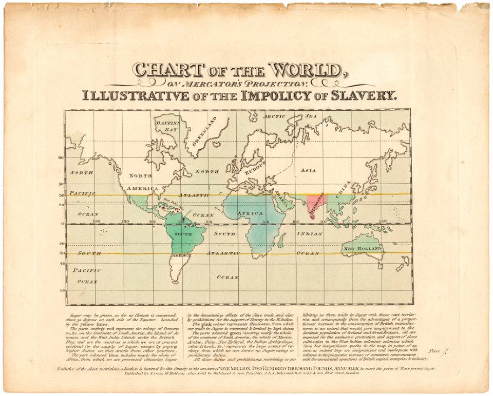
abolitionism
atlantis magni tomus quartus (biblioteca comunale di trento)
maps made in the 17th century
maps made in the 18th century
gerard valck
oudeschans
amsterdam
maps made in the 18th century
gerard valck
flemish 16th-century prints in the rijksmuseum amsterdam
maps of antwerp city walls
maps made in the 17th century
nicolaes visscher ii
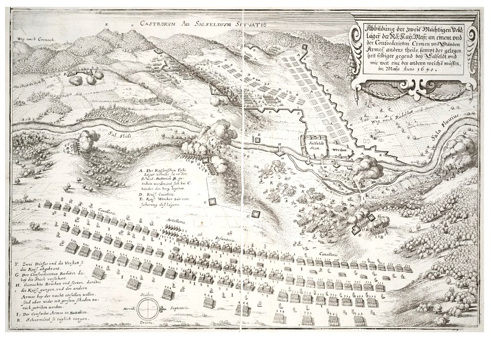
maps of battles of the netherlands
hugh mackay (general)
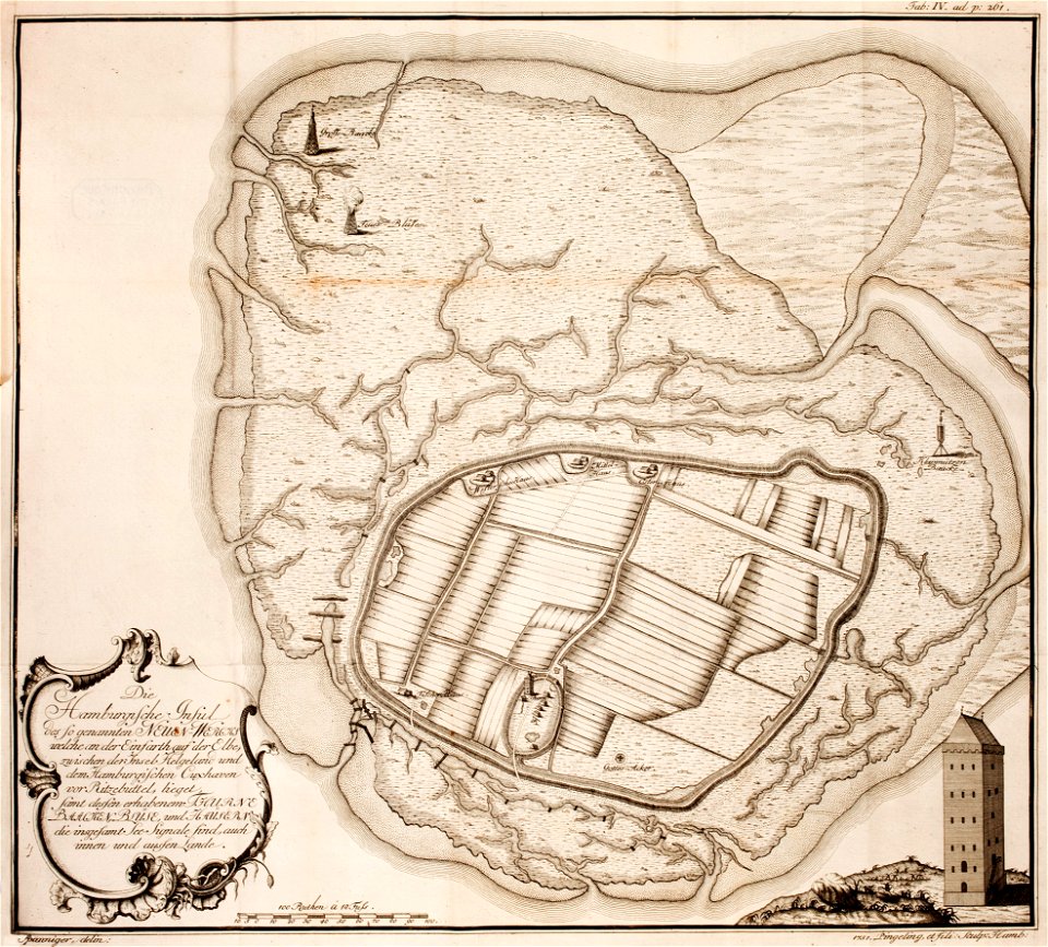
thomas albrecht pingeling
old maps of neuwerk
maps made in the 17th century
gerard valck
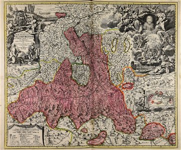
old maps of salzburg (state)
johann baptist homann
cornell university library
pictorial maps
maps made in the 18th century
gerard valck
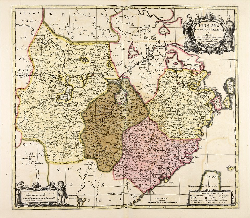
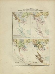
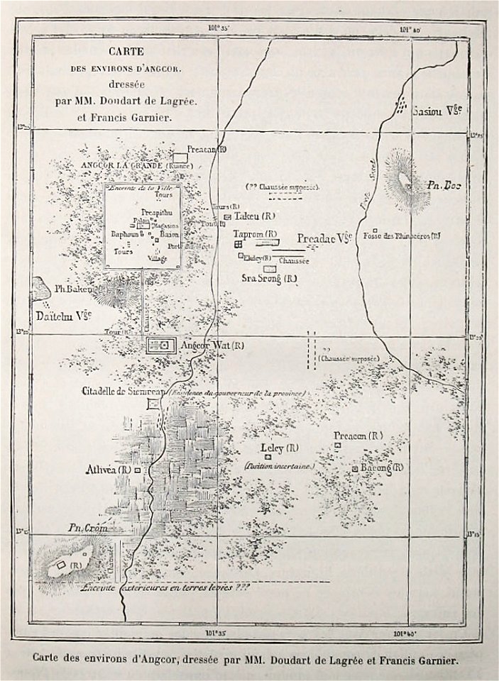
maps of indochina
francis garnier
voyage d'exploration en indo-chine - (1885
francis garnier
francesco piranesi
old maps of lazio
old maps of pomeroon
johannes van keulen
ducatus sleswicum sive justia australis
germany
old maps of the indian ocean
robert surcouf
old maps of the indian ocean
robert surcouf
maps and topographical views by joris hoefnagel
historical images of brno
engravings by matthäus merian
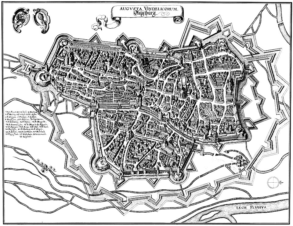
1640s maps of augsburg
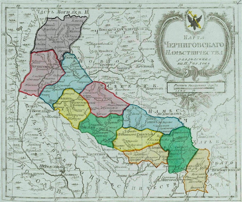
small atlas of the russian empire (1792)
maps of chernigov governorate
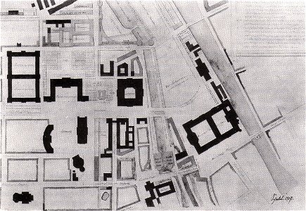
parts of old maps of berlin
alte nationalgalerie
volume 7 of le tour du monde
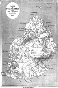
old maps of mauritius
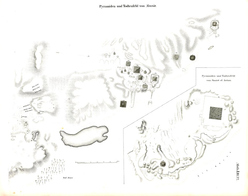
abusir pyramids
abusir
old maps of yekaterinoslav governorate
atlas of the russian empire (1792)
corsica (galleria delle carte geografiche)
old maps of corsica
prints from the peace palace library
maps of hondarribia
description de l'universe
1680s maps of the world
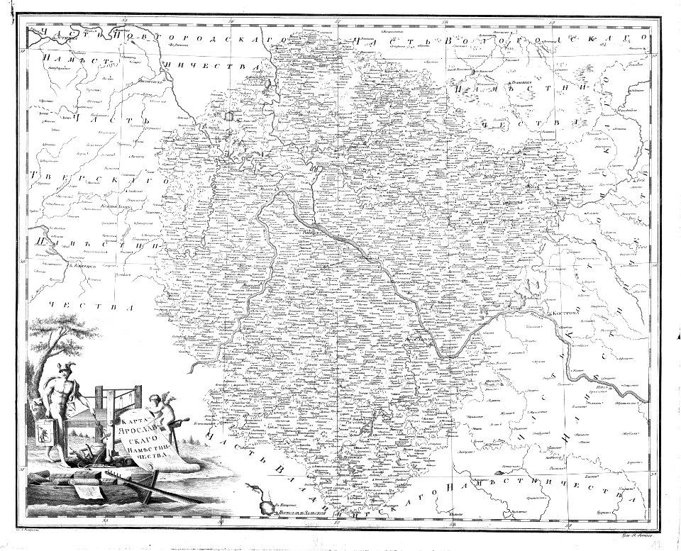
atlas of the russian empire (1792)
old maps of yaroslavl governorate
maps by gerardus mercator
ursa major in art
university of toronto wenceslas hollar digital collection
maps by wenzel hollar
provided by landsbókasafn íslands
philips galle
charts and maps of the royal museums greenwich
lucas janszoon waghenaer
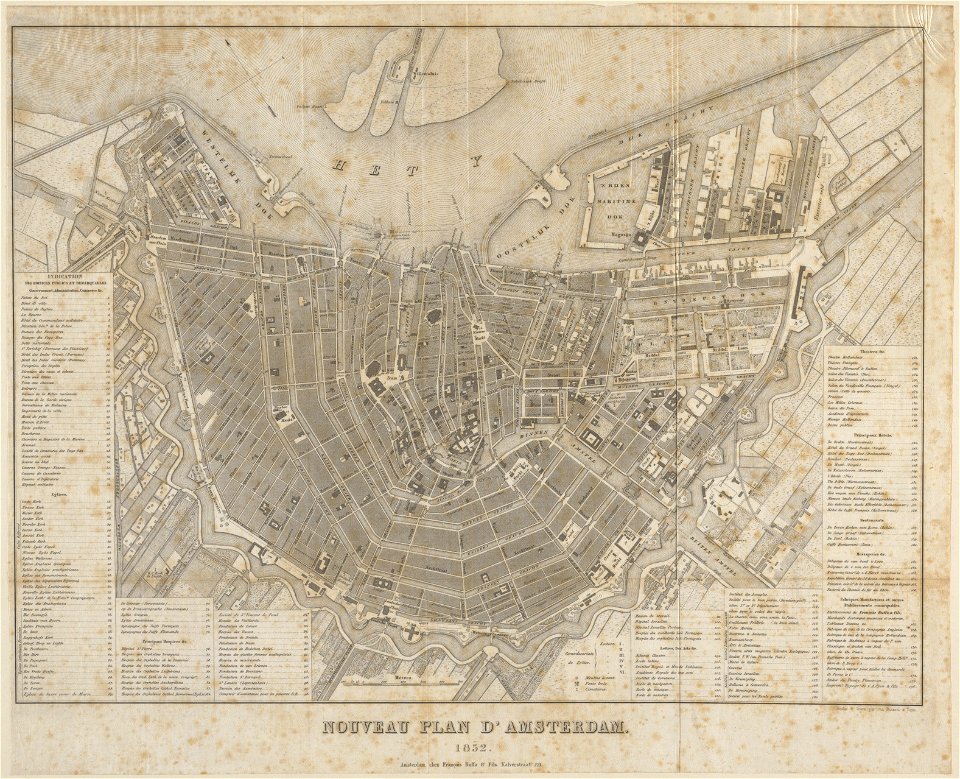
published by frans buffa & zonen
maps in the stadsarchief amsterdam
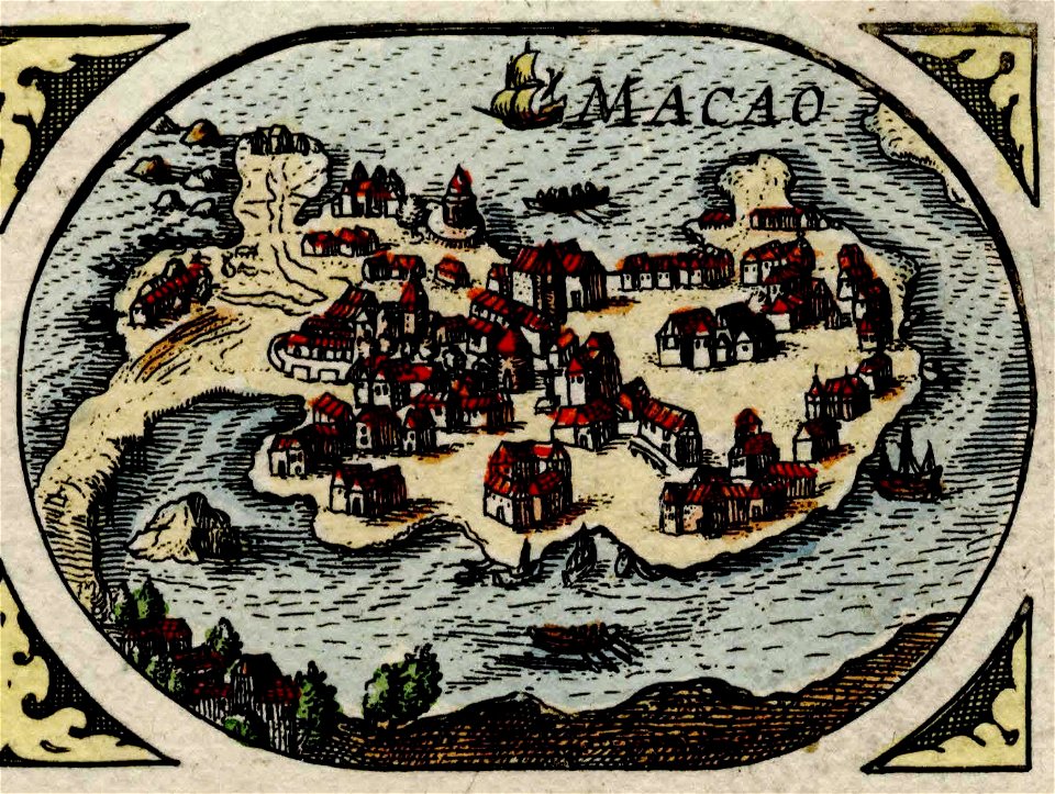
historical images of macau
old maps of macau
atlante veneto (raremaps.com) volume 1
old maps of the atlantic ocean
bibliothèque municipale de reims
rès. g 153
de wikisource book leaflet
de nordseeküste (karten)
de wikisource book leaflet
de nordseeküste (karten)
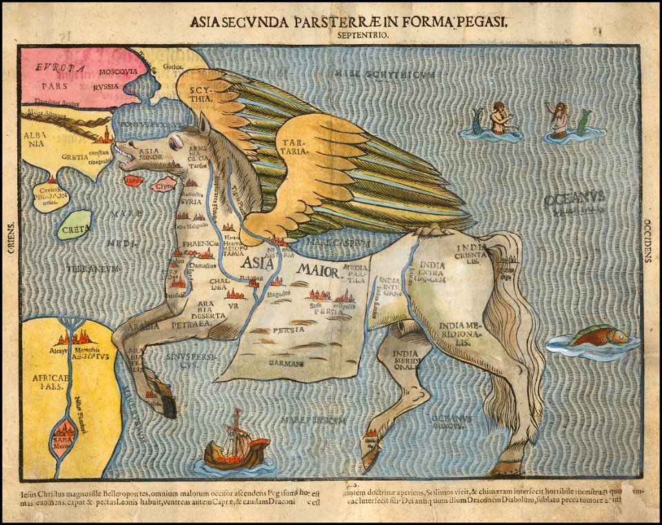
asia secunda pars terrae in forma pegasir
1580s maps of asia
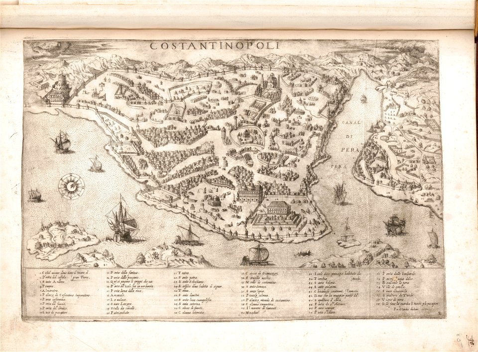
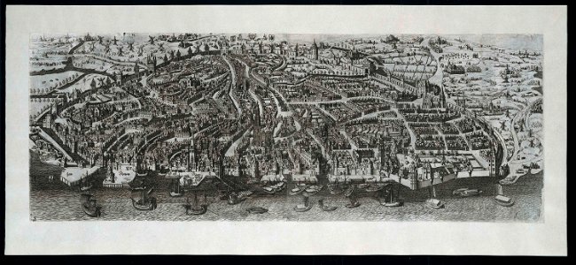
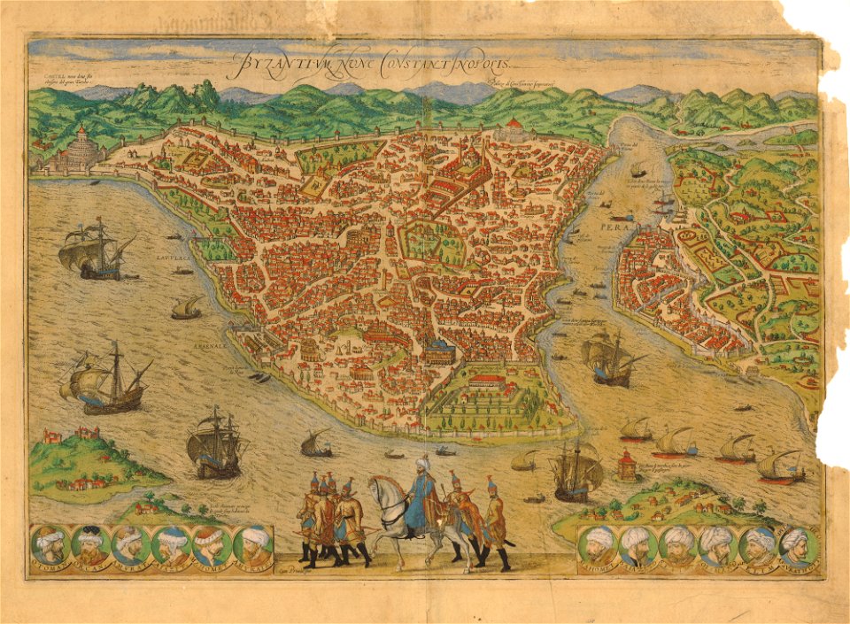
old maps of istanbul
braun & hogenberg
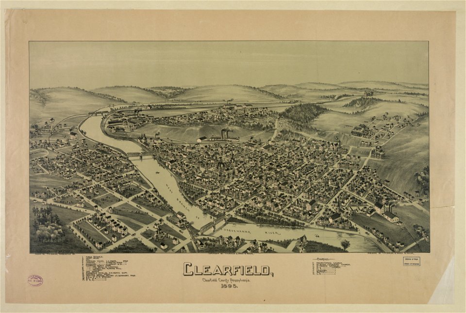
pennsylvania
clearfield
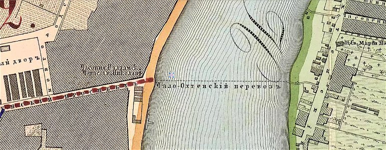
krasnogvardeysky district of saint petersburg
maps made in the 19th century
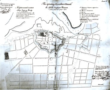
historical images of bychaŭ
plans of bychaŭ castle
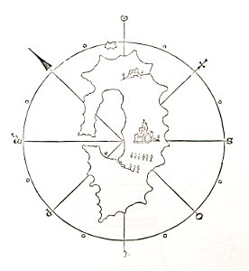
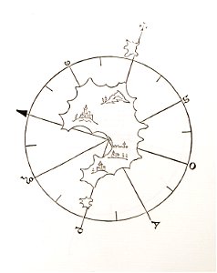
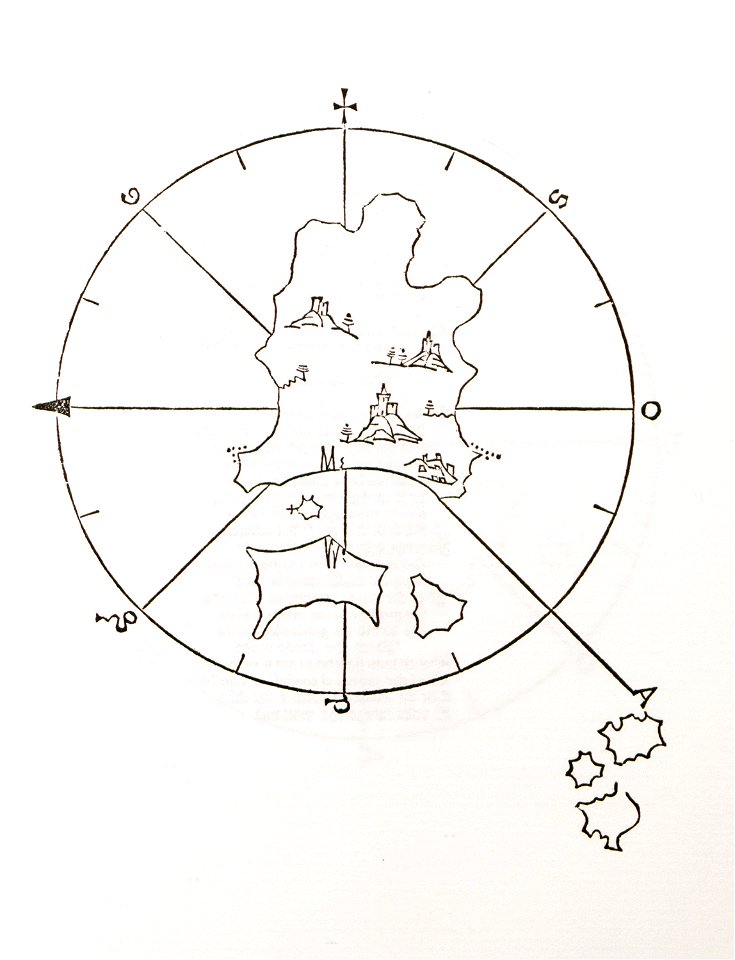
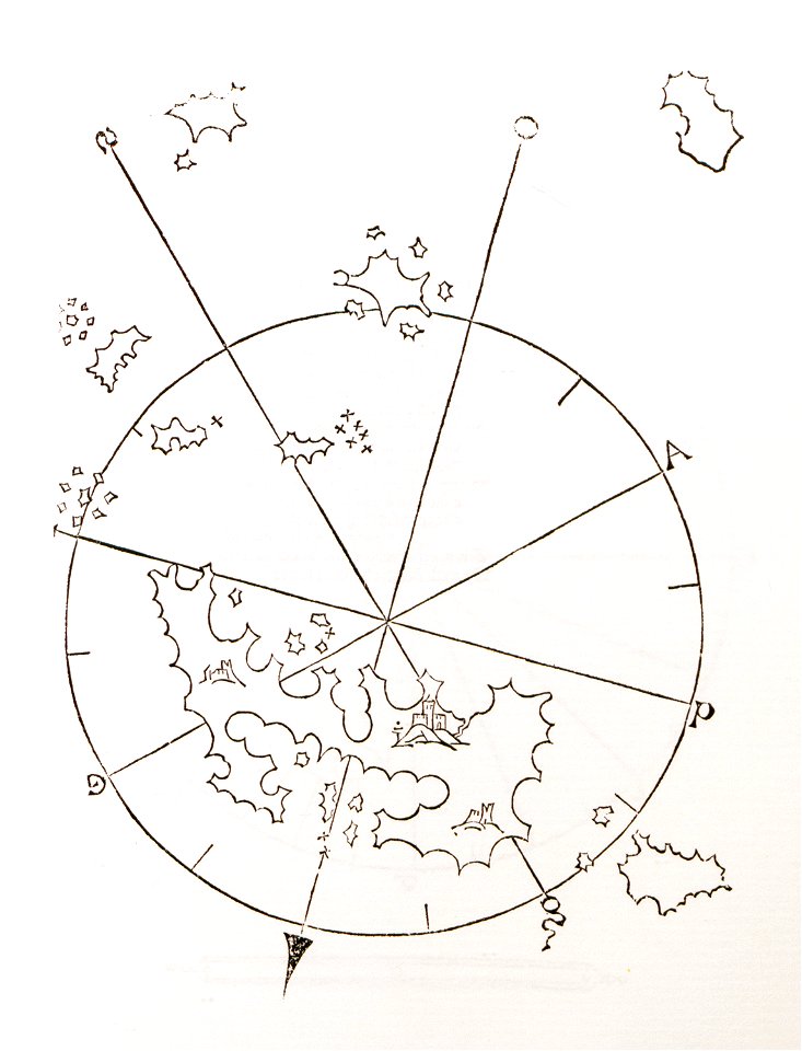
old maps of islands of the aegean sea
bartolommeo dalli sonetti
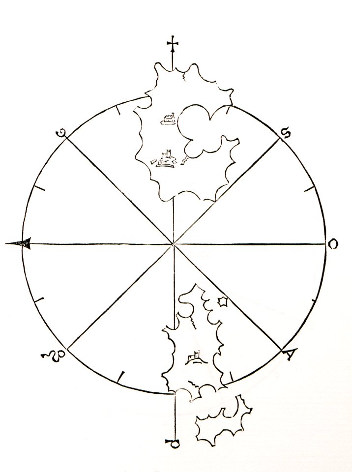
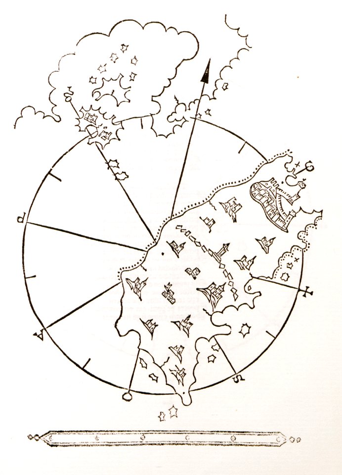
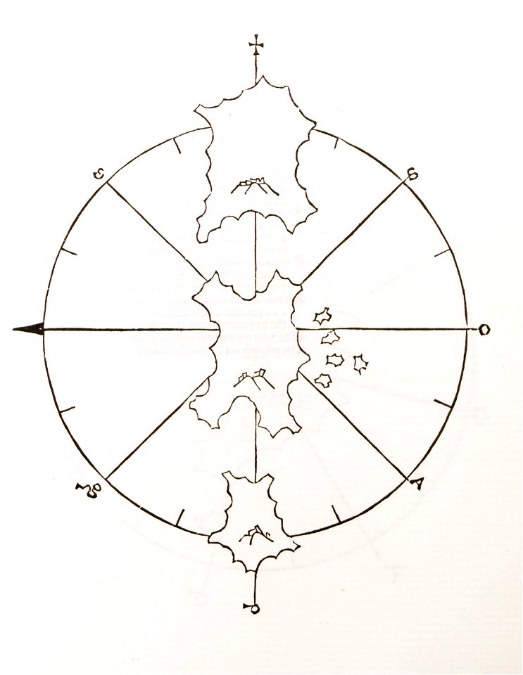
old maps of islands of the aegean sea
bartolommeo dalli sonetti
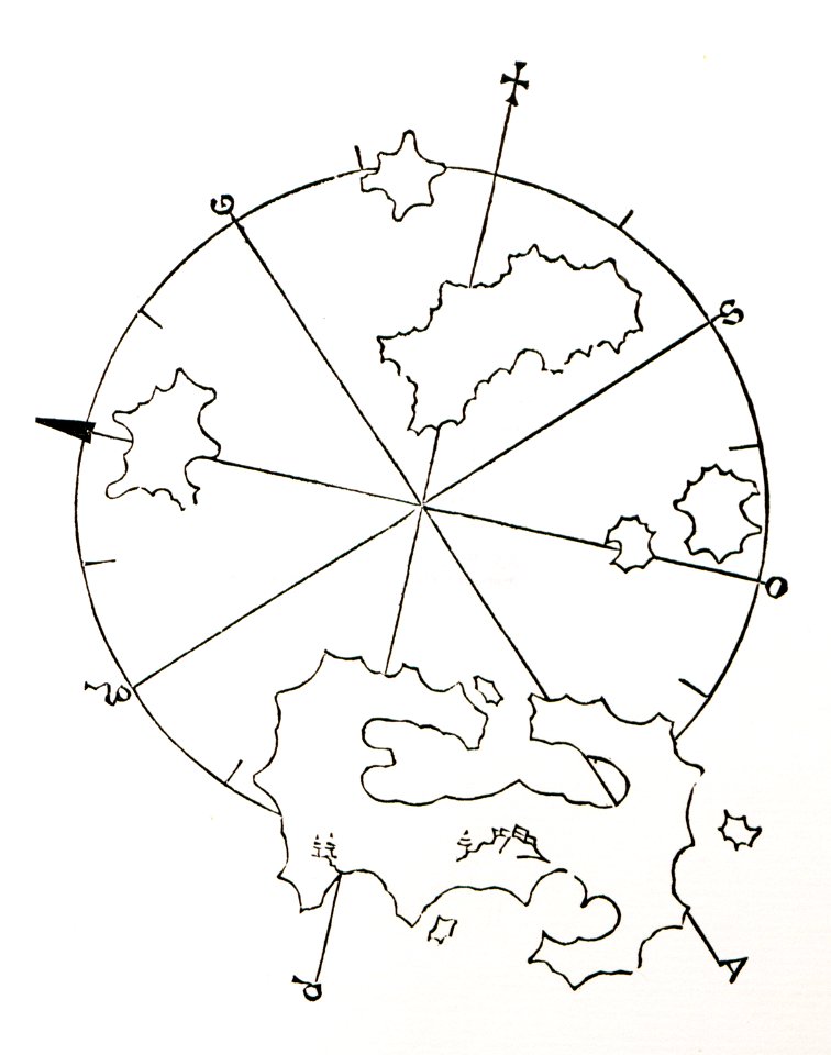
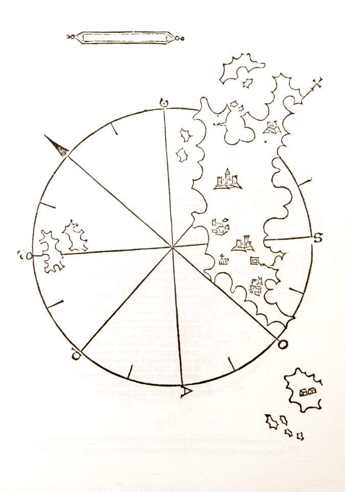
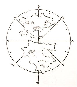
old maps of islands of the aegean sea
bartolommeo dalli sonetti
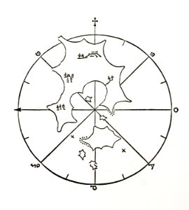
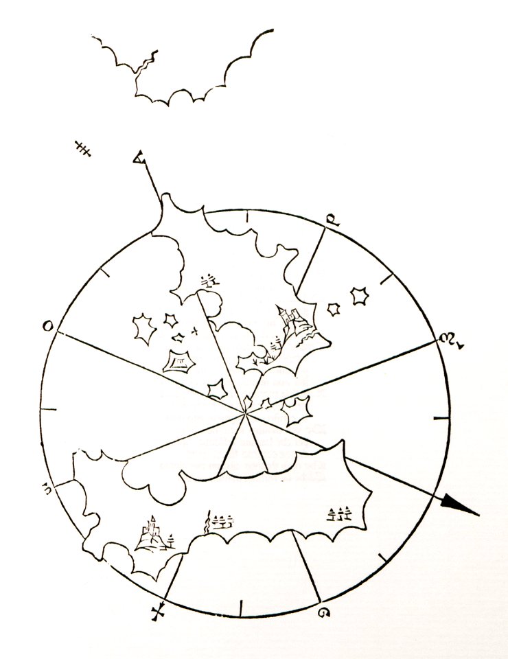
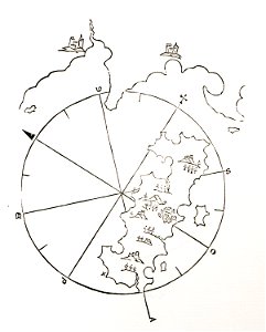
old maps of islands of the aegean sea
bartolommeo dalli sonetti
old maps of islands of the aegean sea
bartolommeo dalli sonetti
old maps of islands of the aegean sea
bartolommeo dalli sonetti
old maps of islands of the aegean sea
bartolommeo dalli sonetti
old maps of islands of the aegean sea
bartolommeo dalli sonetti
old maps of islands of the aegean sea
bartolommeo dalli sonetti
old maps of islands of the aegean sea
bartolommeo dalli sonetti
old maps of islands of the aegean sea
bartolommeo dalli sonetti
old maps of islands of the aegean sea
bartolommeo dalli sonetti
old maps of islands of the aegean sea
bartolommeo dalli sonetti
old maps of islands of the aegean sea
bartolommeo dalli sonetti
old maps of islands of the aegean sea
bartolommeo dalli sonetti
old maps of islands of the aegean sea
bartolommeo dalli sonetti
old maps of islands of the aegean sea
bartolommeo dalli sonetti
8601 - 8700 of 36,083
Next page
/ 361